save in fuel and time
by harnessing currents
Reliable ocean data are needed to take the best decisions at sea !
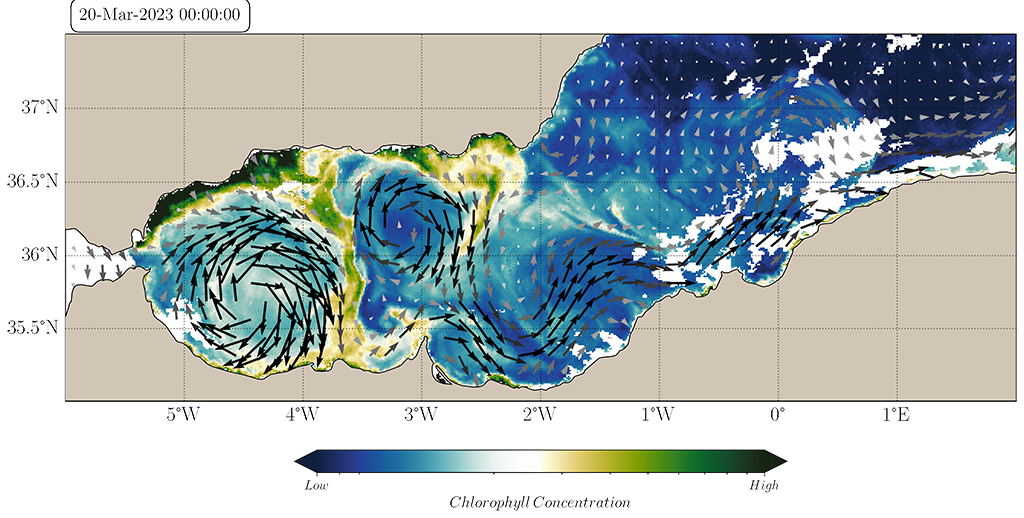
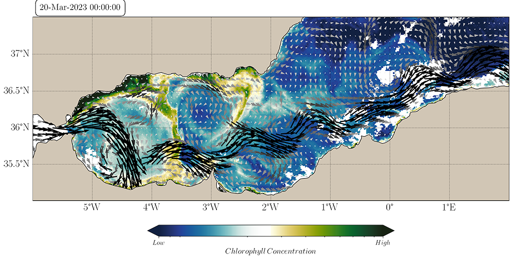
Slide between satellite observations and numerical simulations below :


Observed vs Simulated Currents on Chlorophyll image of the same day
OUR SOLUTION
fusion of satellite data
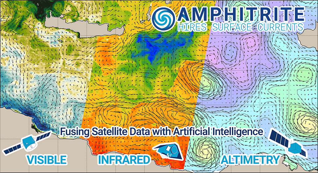
The fusion of Altimetry satellite observations from which geostrophic currents are derived with Infrared and Visible satellite sensor observations provides a high level of reliability. When two distinct satellite observations are coherent on the same day and at the same location the reliability of these remote sensing observations becomes very high. We employ cutting-edge Computer Vision methods to extract all the swirl, gradient and filament patterns from satellite imagery and produce in real-time daily HIRES Surface Current Maps.
These HIRES CURRENTS maps have a spatial resolution up to 1km which is much higher than standard altimetry data.
This new generation of AI-powered ocean data provides a reliability index at three levels: strong, good and medium. The level of reliability depends on the density of satellite tracks and the overlapping of coherent structures detected on satellite observations

OUR SOLUTION
THE OCEAN BULLETIN
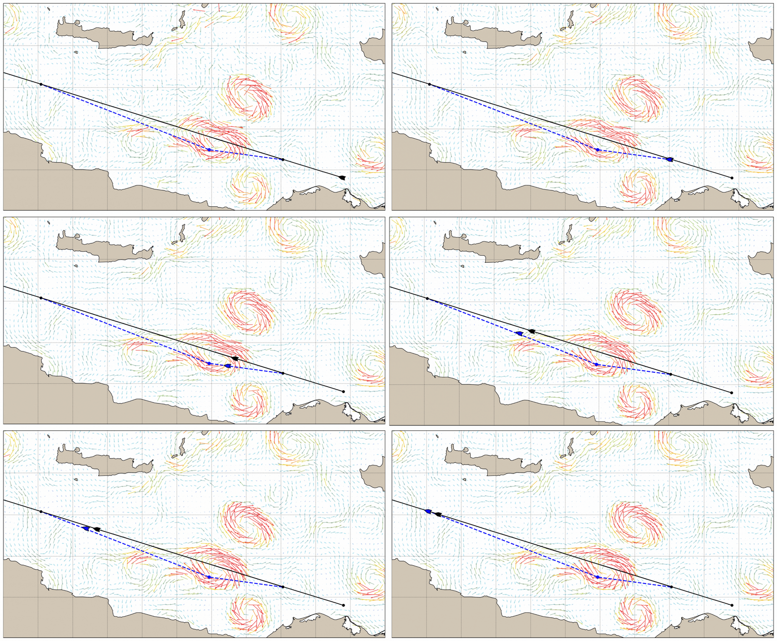
A Short-Term Optimal Routing becomes possible by harnessing ocean currents in the fine scale . Satellite data fusion can provide a short-term forecast of oceanic currents reliable on a weekly basis. Savings in time and fuel with minimal operation risk can be obtained through a slight modification of the ship’s trajectory with the addition of few waypoints.
The example below shows a cargo ship, in April 2022, leaving the Suez Canal and heading for Malta, saving more than one hour over one day by slightly modifying its route.

The Ocean Bulletin
is a simple and reliable solution
to reduce the Carbon Intensity Index
of any ship day after day

