RELIABLE OCEAN-DATA INNOVATIVE SOLUTIONS TO MAKE THE RIGHT DECISIONS AT SEA
Our technology fuses multiple satellite and in-situ data, using artificial intelligence to provide reliable and high resolution ocean data to make the right decision at sea. Real time oceanic data fusion provides solutions for various maritime applications.
Our solutions
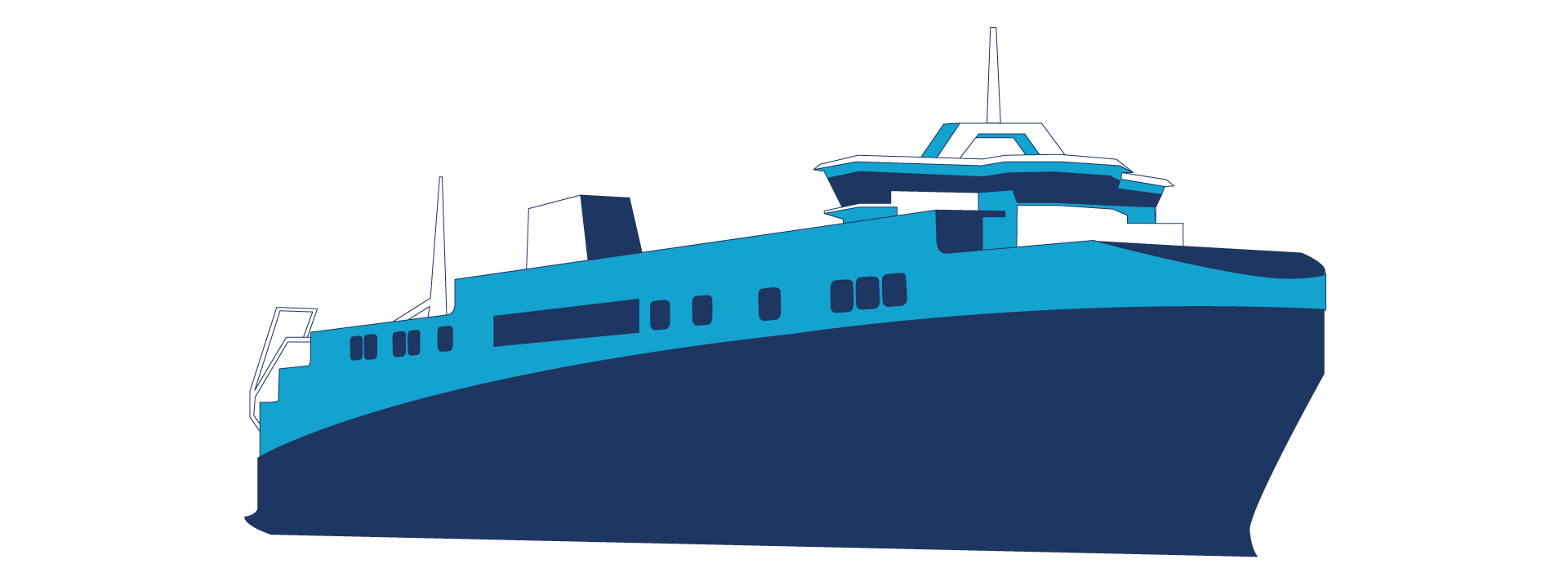
GREEN SHIPPING
The decarbonization of maritime transport is a major challenge for the 21st century. Our high-resolution surface currents, calculated in real time from satellite observations, are much more reliable than operational ocean models. It allows for a new optimal short-term routing for any commercial vessel, in addition to standard weather routing.

ENVIRONMENT
The detection of ocean pollution and the monitoring of marine species is booming. New unmanned surface vehicle will revolutionize ocean monitoring in the coming decades. Thanks to our oceanographic expertise, we develop accurate data and solutions adapted to these new observation tools.
DEFENSE
Fine characterization of subsurface properties of the ocean is necessary to optimize the deployment and detection of submarine devices. Our technology, based on fusion of satellite and in-situ data, offers more accurate information on the vertical structure of the ocean in the first few hundred meters below the surface.
Clients & Partners


Awards & supports